Default Dimension Properties
The Default Dimension Properties category contains settings that will be the default settings for all new dimensions created. These settings can be overridden on a per-dimension basis.
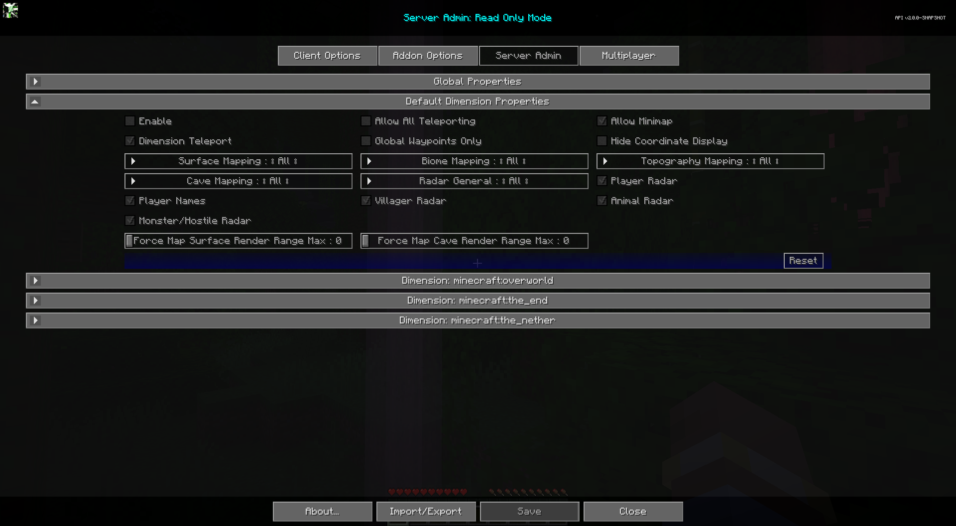
Toggles
| Toggle | Description |
|---|---|
| Enable | Enabling this dimension will override the global properties for this dimension. |
| Allow Minimap | Enable or disable the minimap. |
| Hide Coordinate Display | Hides all coordinate displays, prevents editing of coordinate values for waypoints. Replaces most coordinate displays with "Unknown Location" text. Does not affect existing waypoint names. |
| Global Waypoints Only | When enabled, players can only view and toggle the visibility of global waypoints. Creating, editing, and deleting personal waypoints is disabled. |
| Allow All Teleporting | Allows Waypoint and Fullscreen Context menu teleporting. Waypoint Only Teleporting takes priority. |
| Dimension Teleport | Enable Cross Dimension Waypoint teleporting for non-op users. OP users can use it always. |
| Player Radar | If players can see other players on the map. |
| Player Names | If players can see other player's names on the map. |
| Villager Radar | If players can see villagers on the map. |
| Animal Radar | If players can see animals on the map. |
| Monster/Hostile Radar | If players can see monsters or hostile entities on the map. |
Other Settings
The default option for each setting below is marked with bold text.
| Setting | Options | Description |
|---|---|---|
| Force Map Surface Render Range Max |
|
Force all players to a maximum chunk surface render distance for the map. 0 to use client settings. This setting only forces the max, it does not increase their render range. This value is not reflected in the client's Cartography options. |
| Force Map Cave Render Range Max |
|
Force all players to a maximum chunk cave render distance for the map. 0 to use client settings. This setting only forces the max, it does not increase their render range. This value is not reflected in the client's Cartography options. |
| Surface Mapping |
|
Surface Mapping for All, Ops, None. |
| Topography Mapping |
|
Topography Mapping for All, Ops, None. |
| Biome Mapping |
|
Biome Mapping for All, Ops, None. |
| Cave Mapping |
|
Cave Mapping for All, Ops, None. |
| Radar General |
|
|